Our Rivers
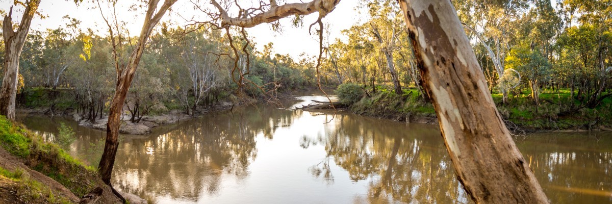
Between the twin cities of Shepparton and Mooroopna, Kaiela (the Goulburn River), infilled by Baala wala (the Broken River), flows downstream to meet Dhungalla (the Murray River).
The Goulburn and Broken River systems are key assets of the Greater Shepparton region, and Shepparton is fortunate to be sited near the confluence of these two important rivers. These rivers flow into the Murray River, forming part of the Murray Darling Basin.
In particular, the river environment within the RiverConnect area is seen as unique in terms of its natural state. As the longest river in Victoria, Kaiela (the Goulburn River) is one of 18 declared as a heritage river under the Heritage River Act in 1992. This declaration aims to protect its significant values for conservation, recreation, scenic and cultural heritage.
Goulburn Flo - Online Story Map
Take a journey with Flo (an environment water droplet) from atop Mt Stirling, through the Goulburn Valley and all the way to Dhungalla (Murray River).
Titled Goulburn Flo, this informative resource contains interactive text, photos, maps, diagrams and videos that describe water for the environment in the 654km-long river.

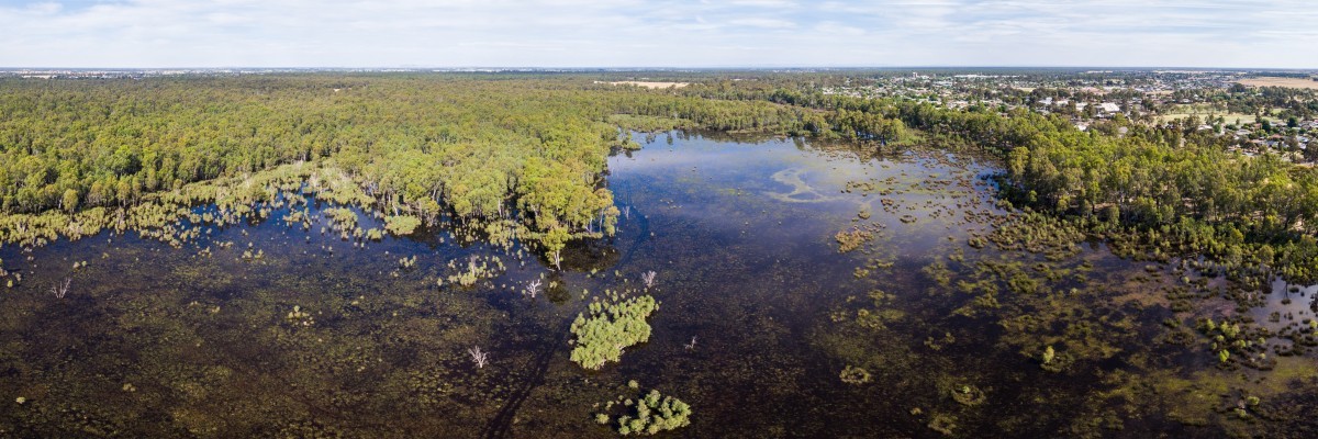
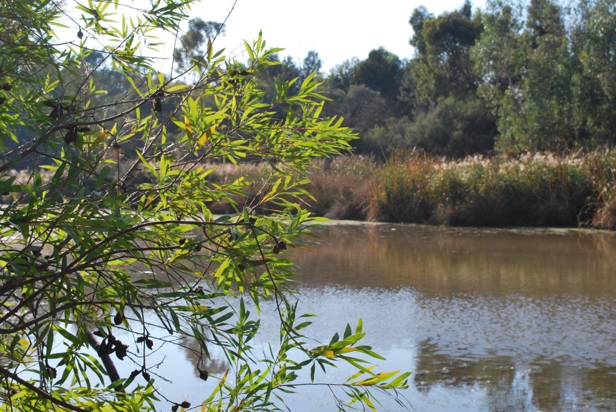
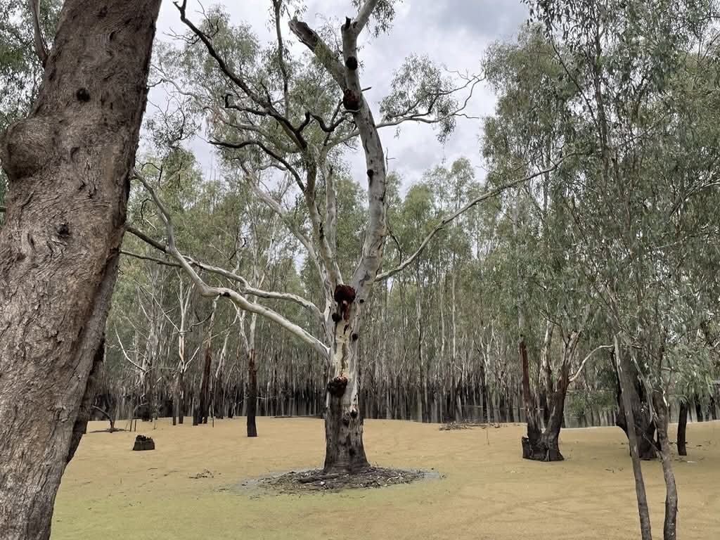
Natural and Constructed Wetlands
Within the region there are a number of wetlands that provide habitat for wildlife including turtles, rakali, platypus and many migratory bird species that pass through our region. Our wetlands play an important role in flood mitigation, absorb pollutants and improve water quality.
Our natural wetlands include:
- Gemmill Swamp Wildlife Reserve - Mooroopna
- Reedy Swamp Wildlife Reserve - North Shepparton
- Doctors Swamp Wildlife Reserve - near Murchison
- Loch Gary Wildlife Reserve - Bunbartha
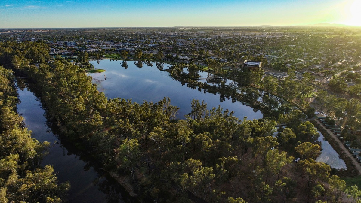
Our constructed wetlands include:
- Cussen Park - Tatura
- Lake Bartlett - Tatura
- Victoria Park Lake - Shepparton Victoria Park Lake Ecosystem
- Kialla Lakes system - south of Shepparton

Flood Information
Historical Flood Information Signage are installed at four locations for use as community education tools, creating awareness of the previous flood levels, helping residents understand flood risk living close to rivers. Each sign includes a QR code to access a wide variety of historical flood information, available via the link below.
The Goulburn Broken Community Flood Intelligence Portal allows you to view flood maps, search properties and create a property flood report and flood information including estimated 100-year ARI flood levels.
Please stay connected to realtime information and for life-threatening emergencies call Triple Zero (000). Call VICSES on 132 500 from anywhere in Victoria for flood, storm, tsunami and earthquake emergency response for help. For real-time incidents and warnings, use the VicEmergency Website, VicEmergency app or phone the VicEmergency Hotline on 1800 226 226.